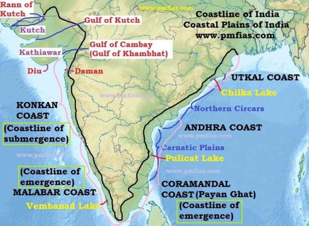
India’s coastline has witnessed a significant revision—not in its physical structure, but in how it’s measured. Thanks to advancements in coastline measurement techniques, the reported length has increased by nearly 50%. While the shoreline itself hasn’t changed physically, the way it is mapped and understood has undergone a major transformation, primarily for strategic and administrative clarity.
Modernising Coastline Measurement: A Shift in Perspective
Earlier assessments pegged India’s coastline at 7,516 km, based on data from the 1970s. However, recent evaluations—using refined methods—now place it at 11,098 km. This 3,582 km increase is not due to land formation but due to modern coastline measurement capturing intricate geographical features previously overlooked.
From Manual Maps to GIS: The Technological Leap
Traditional techniques used a 1:4,500,000 scale, glossing over numerous natural irregularities. Today’s coastline measurement employs a more detailed scale of 1:250,000. The integration of Geographic Information System (GIS) software has enabled precise mapping, offering greater spatial accuracy and consistency across India’s coastal regions.
Understanding the Coastline Paradox
The rising length of the Indian coastline illustrates the coastline paradox—a geographical concept highlighting that the measured length of a coastline varies depending on the scale used. As measurement resolution increases, more natural curves and indentations are recorded, making the coastline appear longer. This paradox is not unique to India and also applies to rivers, mountains, and other irregular natural formations.
Revisiting Offshore Island Data
India’s approach to mapping extends beyond the mainland. Offshore islands were reevaluated following a 2016 survey that initially counted 1,382 islands. After standardising data across agencies, the updated figure now stands at 1,389 islands (1,298 offshore and 91 inshore), excluding river islands. This reassessment is a crucial extension of the broader coastline measurement efforts.
Why Accurate Coastline Measurement Matters
Although these changes in figures may seem academic, they have practical significance. Updated coastline measurement improves territorial understanding and supports better administrative planning, disaster preparedness, and national security. It also plays a role in shaping Coastal Zone Regulations and in formulating strategies to mitigate coastal erosion.
The Road Ahead: Monitoring for the Future
Given the dynamic nature of coastlines—affected by tides, erosion, human development, and climate change—India now mandates periodic reassessment every ten years. This commitment aligns with global best practices, ensuring that coastline measurement stays current and continues to inform sustainable coastal management.


